120 AUNT SOPHIES ROAD
Owner Information
ALLEN KEITH B
120 AUNT SOPHIES ROAD
BREWSTER, MA 02631


Property Details
120 AUNT SOPHIES ROAD is classified as a Single Family Residential (Cape).
The primary structure on this property was built in 1990. There are 1,512ft2 of built area within this property. There is 1,512ft2 of residential/living space within this property. This property is listed as having 6 rooms.
120 AUNT SOPHIES ROAD is valued at $425,000. The land is valued at $151,300 and the structures are valued at $256,200. There is an additional valuation of $17,500 on this property.
This property is in Zone RM. Confirm with local Zoning Board authorities to ensure there are no overlays or other easements on this property.
The most recent deed for 120 AUNT SOPHIES ROAD is recorded at the local registrar in Book 20944, Page 217. 120 AUNT SOPHIES ROAD was last sold on Wednesday, April 26, 2006 for $387,500.
Assessment data from fiscal year 2022.
Flood Data
According to the FEMA National Flood Hazard Layer, this property does not appear to be in a flood zone. It may also be in an area not yet reviewed. Nonetheless, confirm this information prior to taking any action.
To view the flood hazards around this property, create a FEMA "Firmette" Map of the area around 120 AUNT SOPHIES ROAD.
Broadband Internet Providers
| Provider | Type | Bandwidth (mbps) | |
|---|---|---|---|
| VSAT Systems, LLC. | Satellite | 2 | 1 |
| Viasat Inc | Satellite | 35 | 3 |
| Verizon New England Inc. | DSL | 5 | 0 |
| Comcast | Cable | 1000 | 35 |
| GCI Communication Corp. | Satellite | 0 | 0 |
| HughesNet | Satellite | 25 | 3 |
Broadband service provider data from December 2020.
Adjacent Properties
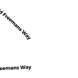
- 179 FREEMANS WAY
Residential Condominium owned by CALDERWOOD ELIZABETH A & - 189 FREEMANS WAY
Residential Condominium owned by KAUTZ TIMOTHY L & SHARON L - 130 AUNT SOPHIES ROAD
Single Family Residential owned by BARRIERE LISA A - 100 AUNT SOPHIES ROAD
Single Family Residential owned by NELSON RICHARD A & RITA A - 76 AUNT SOPHIES ROAD
Single Family Residential owned by WHITCOMB JENNIFER A &